
Clay slabs from the Assyrian period in Babylon, titled 'Intentions of the Babylonian World'
This is a Babylonian clay tablet written in Akkadian. It was created no earlier than the 9th century BC (more likely in the 8th or late 7th century BC). This map is centered around the Euphrates River, flowing from the north to the south. The map is marked with "Babylon" and is located in the northern half of the map. The outlet of the Euphrates River is marked with "swamp" and "outflow outlet". Susa, the capital of Elam, is located in the south, with Urartu in the northeast,. Mesopotamia is surrounded by a circular "river" called the "Bitter River" or the ocean, with seven or eight "regions" depicted as triangular areas outside the ocean.
Popular Models


Random Model


Raft wood hidden crab
815 View


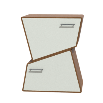
Modern Twisted Wooden Furniture
572 View

Ducati, Ducati Monster 1200
892 View

Strong diamond crab
861 View

Male Four Toothed Large Crab
755 View